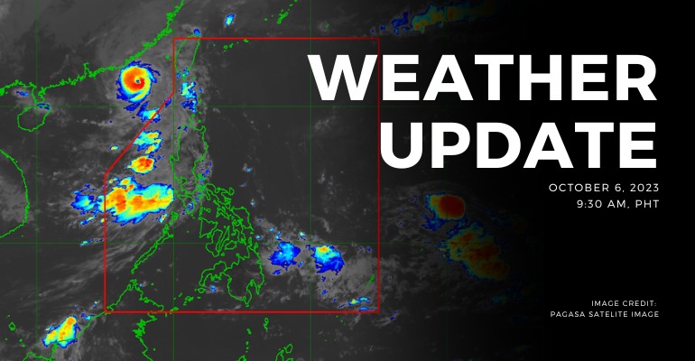
WEATHER UPDATE — According to the Philippines Atmospheric, Geophysical, and Astronomical Services Administration (PAGASA), the Southwest Monsoon affects Luzon. An active tropical cyclone, believed to be induced by Typhoon “JENNY” {KOINU}, is currently situated approximately 375 kilometers to the west-northwest of Itbayat, Batanes, at coordinates 21.8°N latitude and 118.4°E longitude. This cyclone boasts maximum sustained winds reaching 120 kilometers per hour, with gusts reaching as high as 150 kilometers per hour. Its current trajectory is westward, advancing at a pace of 10 kilometers per hour.
Weather Today – October 6, 2023
PAGASA’s weather update today (October 6, 2023) says Ilocos Norte, Batanes, and Babuyan Islands will experience cloudy skies with scattered rain showers and thunderstorms caused by the trough of typhoon Jenny. Possible flash floods or landslides due to moderate to heavy rains.
Meanwhile, Metro Manila, Zambales, Bataan, Cavite, Batangas, Occidental Mindoro, and the rest of the Ilocos Region will experience cloudy skies with scattered rain showers and thunderstorms caused by Southwest Monsoon. Possible flash floods or landslides due to moderate to, at times, heavy rains.
The rest of the country has partly cloudy to cloudy skies with isolated rain showers or thunderstorms caused by Southwest Monsoon or localized thunderstorms. Possible flash floods or landslides during severe thunderstorms.
According to PAGASA’s Forecast Wind and Coastal Water Condition, Northern and Central Luzon has moderate to strong wind speeds from southwest to south with moderate to rough coastal water (1.2 to 2.8 meters).
On the other hand, the rest of the country has light to moderate wind speeds directed from southwest to south with slight to moderate (0.6 to 1.5 meters) coastal water conditions.
Under present weather conditions, the Southwest Monsoon affects Luzon. As of 3:00 AM today, there is an estimated active tropical cyclone outside PAR caused by Typhoon “JENNY” {KOINU} at 375 km west-northwest of Itbayat, Batanes (21.8°N, 118.4°E) with maximum sustained winds of 120 km/h gustiness up to 150 km/h movement. It is moving Westward at 10 km/h. The 12-hour rainfall forecast is light to occasionally moderate rains and thunderstorms.
WATERCOURSES STILL LIKELY TO BE AFFECTED :
- Batanes
- Ilocos Norte
- Pangasinan
The 12-hour rainfall forecast is light to moderate rains and thunderstorms.
- Bataan
- Zambales
The 12-hour rainfall forecast is isolated light rains, rain showers, or thunderstorms.
- Occidental Mindoro
- Oriental Mindoro
- Cavite
- Batangas
- Apayao
People living near the mountain slopes and in the low-lying areas of the above-mentioned river systems and the Local Disaster Risk Reduction and Management Councils concerned are still advised to take necessary precautionary measures.
Source: (PAGASA)
Also read: PAGASA: Typhoon ‘JENNY’ Approaches Batanes with 175 km/h Winds


Leave a Reply