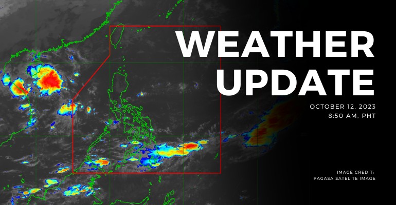
WEATHER UPDATE — According to the Philippines Atmospheric, Geophysical, and Astronomical Services Administration (PAGASA), the Low Pressure Area (LPA) was estimated based on all available data at 305 km West of Puerto Princesa City, Palawan (9.6°N, 116.0°E) at 3:00 AM today. In addition, there is an active tropical cyclone outside PAR, the super typhoon Bolaven. It was estimated based on available data at 2,455 km East Northeast of Extreme Northern Luzon (24.2°N, 145.5°E) with maximum sustained winds of 205 km/h and gustiness of up to 250 km/h. It is moving Northeastward at 25 km/h.
Weather Update Today – October 13, 2023
PAGASA’s weather update today (October 13, 2023) says Occidental Mindoro and the northern portion of Palawan will experience cloudy skies with scattered rain showers and thunderstorms caused by the trough of LPA. Possible flash floods or landslides due to moderate to, at times, heavy rains.
Meanwhile, Batanes, Cagayan, Isabela, Apayao, and Abra will experience partly cloudy to cloudy skies with light rains caused by Northeasterly surface winds but have no significant impacts.
Metro Manila and the rest of the country will experience partly cloudy to cloudy skies with isolated rain showers or thunderstorms caused by trough of LPA or localized thunderstorms. Possible flash floods or landslides during severe thunderstorms.
According to PAGASA’s Forecast Wind and Coastal Water Condition, Northern Luzon has moderate to strong wind speeds from northeast with moderate to rough coastal water (1.2 to 2.8 meters).
Meanwhile, Visayas and the rest of Luzon has light to moderate wind speeds from northeast to northwest with slight to moderate (0.6 to 2.1 meters) coastal water conditions.
As for Mindanao, the areas have light to moderate wind speeds from southwest to west with slight to moderate (0.6 to 2.1 meters) coastal water conditions.
Under present weather conditions, At 3:00 AM today, the Low Pressure Area (LPA) was estimated based on all available data at 305 km West of Puerto Princesa City, Palawan (9.6°N, 116.0°E). The 12-hour rainfall forecast is isolated light rains or thunderstorms.
WATERCOURSES NO LONGER TO BE AFFECTED:
- Quezon
- Oriental Mindoro
- Palawan
- Occidental Mindoro
- Camarines Norte
- Catanduanes
- Camarines Sur
- Masbate
- Sorsogon
- Albay
The 12-hour rainfall forecast is moderate to occasionally heavy rains.
WATERCOURSES LIKELY TO BE AFFECTED:
- Davao Del Sur
- Davao De Oro
- Davao Del Norte
- Davao Occidental
- Davao Oriental
People living near the mountain slopes and in the low-lying areas of the above-mentioned river systems and the Local Disaster Risk Reduction and Management Councils concerned are still advised to take necessary precautionary measures.
Source: (PAGASA)
Also read: PAGASA: Dual Low Pressure Areas Pose Weather Concerns in Philippines


Leave a Reply