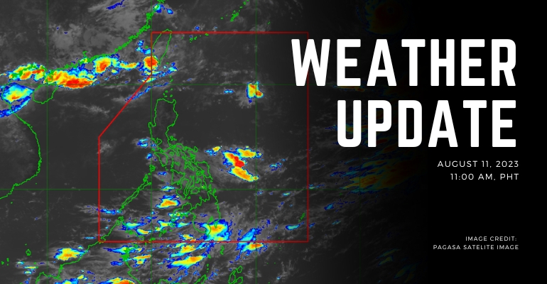
WEATHER UPDATE — According to the Philippines Atmospheric, Geophysical, and Astronomical Services Administration (PAGASA), a Low-Pressure Area (LPA) was based on all available data at data 1030 km East of Borongan City, Eastern Samar. Southwest Monsoon also continues to affect the country.
The tropical cycling outside PAR as of 3:00 AM is located 2,235 KM East Northeast of Extreme Northern Luzon with a maximum sustained speed of up to 155 km/h near the center of Gustiness up to 19- km/h. It is slowly moving North Westward 10 km/h.
Weather Today – August 11, 2023
Visayas, Mindanao, Catanduanes, Sorsogon, Albay, Masbate, and the northern portion of Palawan will have cloudy skies with scattered rain showers and thunderstorms caused by the LPA and Southwest Monsoon causing flooding or landslides due to moderate and heavy rains.
Metro Manila and the rest of the country will experience partly cloudy skies with isolated rain showers and thunderstorms. Southwest Monsoon and localized thunderstorms caused the weather. Weather will be fair for most of the day for Metro Manila and most of the afternoon.
Luzon will have moderate to strong winds directing Southwest to the west with moderate to rough coastal water conditions. In contrast, Visayas and Mindanao will have light to moderate wind speed conditions directing Southwest with slightly moderate coastal water conditions.
Cloudy skies will prevail over Visayas and Mindanao as lightning clouds move westward. The low-pressure area keeps the clouds in the area with thunderstorms causing heavy rain. – WhatALife!/Zain
Source: (PAGASA)
Also read: PAGASA: Southwesterly Winds Prevail Over Shipping Ports


Leave a Reply