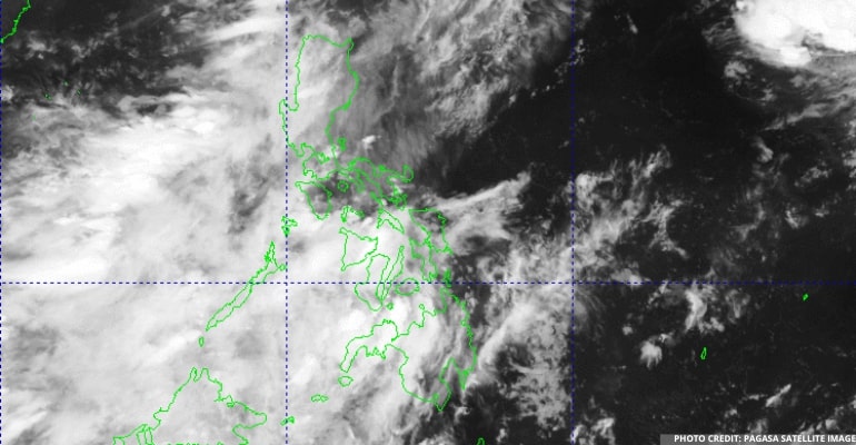
WEATHER UPDATE — According to the Philippine Atmospheric, Geophysical, and Astronomical Services Administration (Pagasa), Typhoon HENRY has fully moved away from our country. However, it is still pulling the Southwest Monsoon (Habagat).
During the recent weather forecast, Ilocos Region, Batanes, Babuyan Islands, Zambales, and Bataan will have cloudy skies with scattered rain showers or thunderstorms, with the possibility of flash floods or landslides due to moderate to, at times, heavy rains.
Meanwhile, Metro Manila and the rest of the country will have partly cloudy skies with isolated rainshowers or thunderstorms, with the possibility of flash floods or landslides during severe thunderstorms.
“Si Bagyong HENRY ay tuloy na pong lumayo sa ating bansa, pero hinahatak-hatak parin ang Southwest Monsoon o Habagat,” PAGASA forecaster Benison Estareja added.
(TheTyphoon HENRY has wholly left our country, but it’s still pulling the Southwest Monsoon or Habagat.)
The Southwest Monsoon affects Northern and Central Luzon, which may result in rainshowers due to this weather disturbance.
Winds will be moderate to strong throughout Extreme Northern Luzon, moving southwest, and coastal waters will be moderate to rough.
Winds will also be light to moderate in the rest of the country, moving from southwest to south. Additionally, coastal waters will be slight to moderate.
Watch the 5 AM weather update today below:
– WhatALife!/Zed
Source: (PAGASA)
Also read: PAGASA: Super Typhoon “HENRY” (HINNAMNOR), Tropical Depression “GARDO” nearing each other


Leave a Reply