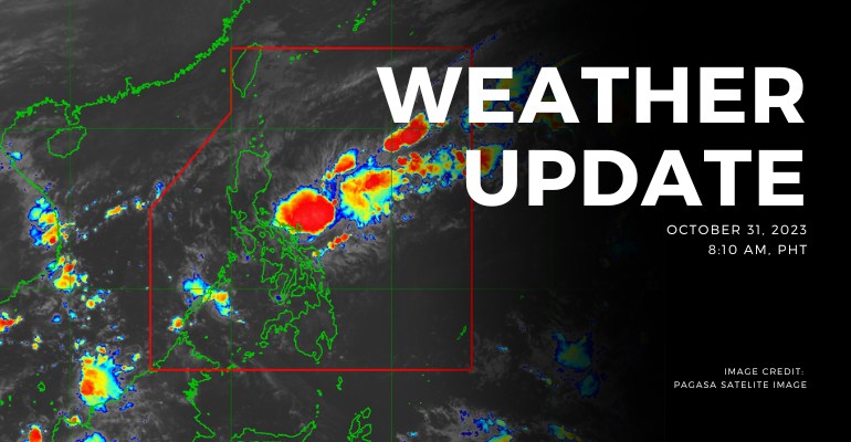
WEATHER UPDATE — Shear Line affecting the eastern sections of Southern Luzon and Visayas. Northeast Monsoon affecting Northern and Central Luzon. Meanwhile, at 3:00 AM today, the Low Pressure Area (LPA) was estimated based on all available data at 470 km East of Virac, Catanduanes (14.3°N, 128.5°E).
Weather Update Today – October 31, 2023
PAGASA’s weather update today (October 31, 2023) says Visayas, Bicol Region, MIMAROPA, Quezon, and Aurora will experience cloudy skies with scattered rain showers and thunderstorms caused by the shear line.trough of LPA. Possible flash floods or landslides due to moderate to, at times, heavy rains.
Batanes, Cagayan, and Isabela will experience cloudy skies with rains caused by Northeast monsoon with no significant impact.
Ilocos Region, Cordillera Administrative Region, the rest of Cagayan Valley, and the rest of Central Luzon will experience partly cloudy to cloudy skies with light isolated rains caused by the Northeast monsoon with no significant impact.
Meanwhile, Metro Manila and the rest of the country will experience partly cloudy to cloudy skies with isolated rain showers or thunderstorms caused by localized thunderstorms. Possible flash floods or landslides during severe thunderstorms.
According to PAGASA’s Forecast Wind and Coastal Water Condition, Luzon has moderate to strong wind speeds from northeast with moderate to rough coastal water (1.2 to 2.8 meters).
As for the rest of the country, the areas have light to moderate wind speeds from southeast to east with slight to moderate (0.6 to 2.1 meters) coastal water conditions.
Under present weather conditions, the Shear Line affected the eastern sections of Southern Luzon and Visayas. Northeast Monsoon affecting Northern and Central Luzon. Meanwhile, at 3:00 AM today, the Low Pressure Area (LPA) was estimated based on all available data at 470 km East of Virac, Catanduanes (14.3°N, 128.5°E).
.
The 12-hour rainfall forecast is light to moderate rains or thunderstorms.
WATERCOURSES LIKELY TO BE AFFECTED :
- Catanduanes
- Masbate
- Albay
- Sorsosgon
Under present weather conditions, the Shear Line affected the eastern sections of Southern Luzon and Visayas. Northeast Monsoon affecting Northern and Central Luzon. Meanwhile, at 3:00 AM today, the Low Pressure Area (LPA) was estimated based on all available data at 470 km East of Virac, Catanduanes (14.3°N, 128.5°E).
The 12-hour rainfall forecast is light to moderate rains and thunderstorms.
WATERCOURSES LIKELY TO BE AFFECTED:
- Occidental Mindoro
- Oriental Mindoro
- Romblon
- Palawan
- Marinduque
Under present weather conditions, the Shear Line affects the eastern sections of Southern Luzon and Visayas. Northeast Monsoon affecting Northern and Central Luzon. Meanwhile, at 3:00 AM today, the Low Pressure Area (LPA) was estimated based on all available data at 470 km East of Virac, Catanduanes (14.3°N, 128.5°E).
The 12-hour rainfall forecast is light to moderate rains and thunderstorms.
WATERCOURSES LIKELY TO BE AFFECTED:
- Eastern Samar
- Northern Samar
- Samar
Source: (PAGASA)
Also Read: PAGASA: Northeast Monsoon Impacts Northern and Central Luzon


Leave a Reply