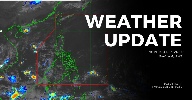
WEATHER UPDATE — Varied meteorological landscapes are experienced across the Philippines today. Palawan is set to experience cloudy skies with scattered rain showers and thunderstorms due to a low pressure area, increasing the risk of flash floods and landslides. Batanes and Babuyan Islands’ weather, on the other hand, are influenced by the northeast monsoon bringing cloudy skies and rains. For the rest of the country the weather is expected to be partly cloudy to cloudy skies with isolated rain showers.
Weather Update Today — November 9, 2023
PAGASA’s weather update today (November 9, 2023) says Palawan will experience cloudy skies with scattered rain showers and thunderstorms caused by the low pressure area. Possible flash floods or landslides due to moderate to, at times, heavy rains.
Batanes and Babuyan Islands will experience cloudy skies with rains caused by Northeast monsoon with no significant impact.
Meanwhile, Metro Manila and the rest of the country will experience partly cloudy to cloudy skies with isolated rain showers or thunderstorms caused by the easterlies/localized thunderstorms. Possible flash floods or landslides during severe thunderstorms.
According to PAGASA’s Forecast Wind and Coastal Water Condition, northern sections of Luzon have moderate to strong wind speeds from northeast to east with moderate to rough coastal water (1.2 to 3.1 meters).
As for the rest of the country, the areas have light to moderate wind speeds from east to northeast with slight to moderate (0.6 to 2.1 meters) coastal water conditions.
Under present weather conditions, At 3:00 AM today, the Low Pressure Area (LPA) was estimated based on all available data at 395 km West Southwest of Puerto Princesa City, Palawan (8.7°N, 115.3°E). Northeast Monsoon affecting Extreme Northern Luzon.
The 12-hour rainfall forecast is light to moderate rains or thunderstorms.
WATERCOURSES STILL LIKELY TO BE AFFECTED:
- Palawan
Under present weather conditions, At 3:00 AM today, the Low Pressure Area (LPA) was estimated based on all available data at 395 km West Southwest of Puerto Princesa City, Palawan (8.7°N, 115.3°E). Northeast Monsoon affecting Extreme Northern Luzon.
The 12-hour rainfall forecast is light to occasionally moderate rains or thunderstorms.
WATERCOURSES STILL LIKELY TO BE AFFECTED:
- Zamboanga Sibugay
- Zamboanga del Norte
- Zamboanga del Sur
- Sarangani
- Sultan Kudarat
- South Cotabato
- North Cotabato
Under present weather conditions, At 3:00 AM today, the Low Pressure Area (LPA) was estimated based on all available data at 395 km West Southwest of Puerto Princesa City, Palawan (8.7°N, 115.3°E). Northeast Monsoon affecting Extreme Northern Luzon.
The 12-hour rainfall forecast is light rains.
WATERCOURSES NO LONGER TO BE AFFECTED:
- Guimaras
- Antique
- Iloilo
- Capiz
- Aklan
- Negros Oriental
- Lanao del Norte
- Misamis Occidental
- Misamis Oriental
- Lanao del Sur
- Maguindanao
- Sulu
- Basilan
Source: (PAGASA)
Also Read: PAGASA: Easterlies affecting Southern Luzon, Visayas, and Mindanao


Leave a Reply