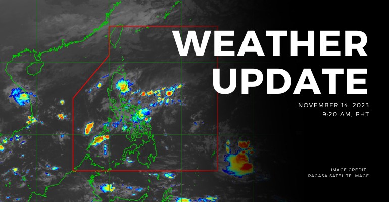
WEATHER UPDATE — According to the Philippine Atmospheric, Geographical, and Astronomical Services Administration (PAGASA), today’s forecast reveals a spectrum of weather conditions across the nation. From the Bicol Region to Cagayan Valley and beyond, different weather patterns bring a combination of cloudy skies, scattered rain showers, and potential thunderstorms.
For the tropical depression today, the east southeast of Palau weakens into a low pressure area. The location of the center as of 4:00 this morning is estimated to be 1,620 kilometers east of southeastern Mindanao (5.6°N, 140.2°E, outside Philippine Area of Responsibility). The low pressure area has a central pressure intensity of 1006 hPa and moving south southwest at 10 kilometers per hour.
PAGASA also noted that this low pressure area is forecast to move erratically and may twist near or around its present position in the next 24 hours since it is still highly disorganized. Citizens are advised to keep informed regarding possible typhoon updates. Afterwards, a slight improvement in the environmental conditions will allow this disturbance to reorganize and re-develop into a tropical depression.
During the same period, the system is forecast to accelerate towards the west or west northwestward is forecast to occur. It may enter the Philippine area of responsibility region late tomorrow or early Thursday, November 16, 2023.
Weather Update Today — November 14, 2023
PAGASA’s weather update today (November 14, 2023) says Bicol Region, Quezon, Northern Samar, Eastern Samar, and Samar will experience cloudy skies with scattered rain showers and thunderstorms caused by the shear line. Possible flash floods or landslides due to moderate to, at times, heavy rains.
Cagayan Valley, Ilocos Norte, and Apayao will experience cloudy skies with rains caused by Northeast monsoon with possible flash floods or landslides due to moderate to heavy rains at times.
Central Luzon, the rest of Ilocos Region, and the rest of Cordillera Administrative Region will experience partly cloudy to cloudy skies with light isolated rains caused by the Northeast monsoon with no significant impact.
Meanwhile, Metro Manila and the rest of the country will experience partly cloudy to cloudy skies with isolated rain showers or thunderstorms caused by the shealine/localized thunderstorms. Possible flash floods or landslides during severe thunderstorms.
According to PAGASA’s Forecast Wind and Coastal Water Condition, northern sections of Luzon have moderate to strong wind speeds from northeast to east with moderate to rough coastal water (1.2 to 4.5 meters).
As for the rest of the country, the areas have light to moderate wind speeds from east to northeast with slight to moderate (0.6 to 2.1 meters) coastal water conditions.
Under present weather conditions, the Shear Line is affecting Southern Luzon. Northeast Monsoon affecting Northern and Central Luzon.
The 12-hour rainfall forecast is moderate to occasionally heavy rains.
WATERCOURSES STILL LIKELY TO BE AFFECTED:
- Camarines Norte
- Camarines Sur
- Catanduanes
- Sorsogon
- Albay
- Masbate
Under present weather conditions, the Shear Line is affecting Southern Luzon. Northeast Monsoon affecting Northern and Central Luzon.
The 12-hour rainfall forecast is light to moderate rains and thunderstorms.
WATERCOURSES LIKELY TO BE AFFECTED:
- Quezon
- Rizal
- Laguna
- Cavite
- Batangas
- Occidental Mindoro
- Marinduque
- Romblon
- Eastern Samar
- Leyte
- Northern Samar
- Samar
- Biliran
Source: (PAGASA)


Leave a Reply