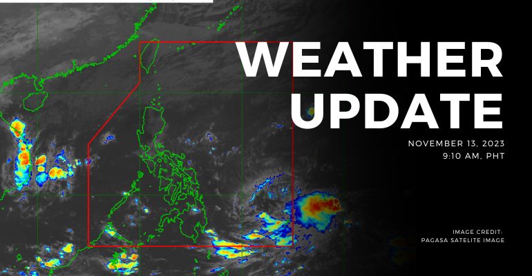
WEATHER UPDATE — Today’s weather forecast unveils diverse weather conditions across the country. Bicol Region, Aurora, Quezon, and Northern Samar anticipate cloudy skies with scattered rain showers and thunderstorms.
Cagayan Valley and Apayao will experience cloudy skies with rains from the northeast monsoon, though no significant impact is expected. Central Luzon and Cordillera Administrative Region can expect partly cloudy to cloudy skies with isolated rain showers from the northeast monsoon.
Metro Manila and the rest of the country will encounter partly cloudy to cloudy skies with isolated rains.
Weather Update Today — November 13, 2023
PAGASA’s weather update today (November 13, 2023) says Bicol Region, Aurora, Quezon, and Northern Samar will experience cloudy skies with scattered rain showers and thunderstorms caused by the shear line. Possible flash floods or landslides due to moderate to, at times, heavy rains.
Cagayan Valley and Apayao will experience cloudy skies with rains caused by Northeast monsoon with no significant impact with possible flash floods or landslides due to moderate, to at times, heavy rains.
Ilocos Region, the rest of Central Luzon, and the rest of Cordillera Administrative Region will experience partly cloudy to cloudy skies with light isolated rains caused by the Northeast monsoon with no significant impact.
Meanwhile, Metro Manila and the rest of the country will experience partly cloudy to cloudy skies with isolated rain showers or thunderstorms caused by the shearlines/localized thunderstorms. Possible flash floods or landslides during severe thunderstorms.
UPDATE:
As of 3:00pm today, a tropical cyclone outside the Philippine area of responsibility has been spotted. The tropical depression is 1,465 kilometers east of Northern Mindanao with maximum sustained winds at the center with 45 kilometers per hour near the center and a gustiness of up to 55 kilometers per hour. The tropical depression is moving northwestward at 15 kilometers per hour.
According to PAGASA’s Forecast Wind and Coastal Water Condition, northern Luzon will have moderate to strong wind speeds from northeast with moderate to rough coastal water (1.2 to 4.5 meters).
As for the rest of the country, the areas have light to moderate wind speeds from east to northeast with slight to moderate (0.6 to 2.1 meters) coastal water conditions.
Under present weather conditions, the Shear Line affects the northern and eastern sections of Northern Luzon. Currently, there are no current alerts and advisories for light to severe hazards and weather disturbances for tropical cyclones, flood storm surge, thunderstorm, and rainfall.
The 12-hour rainfall forecast is light to moderate rains and thunderstorms.
Source: (PAGASA)
Also Read: PAGASA: Easterlies affect Southern Luzon, Visayas, and Mindanao


Leave a Reply