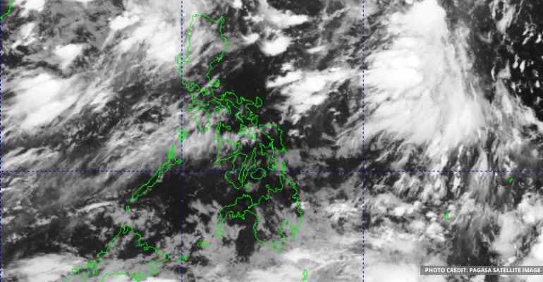
WEATHER UPDATE — On August 16, 2022, Monday, the Philippine Atmospheric, Geophysical and Astronomical Services Administration (PAGASA) announced that the LPA (Low-Pressure Area) is out of the PAR (Philippine Area of Responsibility); it is slowly moving away from the Philippines and going to China.
“The southwest monsoon still affects the Northern and Central Luzon, Visayas, so we can still expect rains due to it,” PAGASA forecaster Aldczar Aurelio said.
Ilocos Region, Cordillera Administrative Region, Cagayan Valley, Aurora, Zambales, and Bataan will experience scattered rain showers and thunderstorms. As a result, they may experience periods of moderate to primarily heavy rain, and areas could experience flash floods or landslides.
On the other hand, isolated thunderstorms or rain showers will occur in Metro Manila and other parts of the country.
PAGASA warned that landslides or flash floods are still possible during heavy thunderstorms.
For Luzon and Visayas, light to moderate winds and slight to moderate waves are expected. Mindanao will also be experiencing light to moderate winds and slight to moderate seas.
Watch the 4 am PAGASA weather update for August 16, 2022 below:
–WhatALife!/Zed
Also read: PAGASA: Southwest Monsoon affects the western section of the Philippines


Leave a Reply