WEATHER UPDATE — According to the Philippines Atmospheric, Geophysical, and Astronomical Services Administration (PAGASA), Low Pressure Area (LPA) was determined at 3:00 AM today using the available data that was gathered.
Its estimated location is 710 km East of Hinatuan, Surigao del Sur (8.5°N, 132.8°E). This weather system is situated within the Intertropical Convergence Zone (ITCZ), which is currently impacting Mindanao.
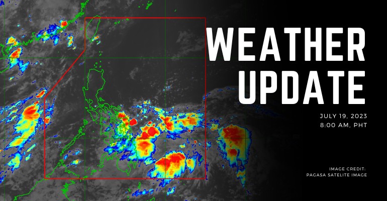
Weather Today – July 19, 2023
Areas such as Eastern Visayas, Caraga, Bohol, Camiguin, Misamis Oriental, Davao de Oro, and Davao Oriental will be experiencing cloudy skies with scattered thunderstorms and rain showers. Possible flash floods or landslides may occur due to moderate to heavy rains.
Metro Manila and the rest of the country can expect cloudy skies with occasional rain showers or thunderstorms along the way. There will potentially be thunderstorms within certain areas. Isolated floods or landslides may also occur in more intense weather.
Additionally, PAGASA released a flood warnings towards potential affected areas:
Region 8 (Eastern Visayas):
- Leyte
- Northern Samar
- Easter Samar
- Samar
- Biliran
- Southern Leyte
Region 13 (Caraga):
- Surigao Del Norte
- Agusan Del Sur
- Dinagat Islands
- Agusan Del Norte
- Surigao Del Sur
– WhatALife!/Shap
Source: (1)
Also Read: PAGASA: LPA and Southwest Monsoon Causing Severe Rains Resulting on Gale Warnings


Leave a Reply