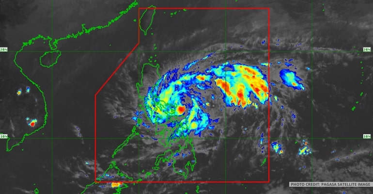
WEATHER UPDATE — Tropical Depression “Amang” has developed from the low-pressure area that was previously observed east of Catanduanes, according to the latest bulletin issued by the Philippine Atmospheric, Geophysical, and Astronomical Services Administration (PAGASA).
As of 5:00 AM on April 11, the center of the tropical depression was estimated to be 475 kilometers east of Virac, Catanduanes, with maximum, sustained winds of 45 km/h near the center and gustiness of up to 55 km/h.
The tropical depression is currently moving west-northwestward at 20 km/h, and strong winds are expected to extend up to 300 kilometers from its center outwards. As a result, PAGASA has issued a Tropical Cyclone Wind Signal (TCWS) No. 1 for Catanduanes and several areas in the Visayas, which may experience strong winds (a strong breeze to near-gale strength) associated with the tropical depression.
Moreover, heavy rainfall is expected in some areas. Northern Samar and the northern portions of Samar and Eastern Samar may experience heavy rains (50-100 mm) from this morning until tonight, while Camarines Norte and the western portion of Camarines Sur may experience heavy rains (100-200 mm) from this morning until Thursday evening.
The southern portion of Quezon, the rest of the Bicol Region, and the northern portions of Samar and Eastern Samar may also experience heavy rains (50-100 mm) during the same period. PAGASA warns that under these conditions, flooding and rain-induced landslides are possible, especially in areas that are highly or very highly susceptible to these hazards.
Mariners of small seacrafts are advised to take precautionary measures when venturing out to sea and to avoid navigating in moderate to rough seas (1.2 to 2.8) over the eastern seaboards of Central Luzon, Southern Luzon, and Eastern Visayas.
Although the current track forecast shows that “Amang” will remain offshore over the waters east of Luzon for the next three days, the forecast confidence cone shows that a landfall scenario over the Bicol Peninsula area or the northern portion of Samar Island is not ruled out, especially for the next 36 hours.
The public and disaster risk reduction and management offices concerned are advised to take all necessary measures to protect life and property. Residents in areas identified as highly or very susceptible to hazards such as flooding and landslides are advised to follow evacuation and other instructions from local officials. – WhatALife!/Jayve
Source: (1)
Also read: PAGASA issues El Niño Watch; asks public to save water


Leave a Reply