MANILA, PHILIPPINES — A typhoon, international name MAWAR, spotted over the east side of Mindanao will likely turn out to be a super typhoon before entering the Philippine Area of Responsibility (PAR), according to the Philippines Atmospheric, Geophysical and Astronomical Services Administration (PAGASA) on Monday. The super typhoon will be named Betty once it enters PAR.
During a radio interview, PAGASA’s weather specialist Beni Estareja said that Tropical Storm Mawar was spotted east of Northeastern Mindanao.
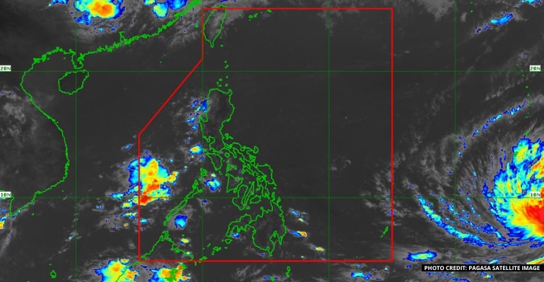
Tropical Storm Mawar has maximum sustained winds of 130 kph nearing up to 160 kph. The storm is moving west-northwestward at 15kph, stated weather specialist Obet Badrina.
Badrina said that the typhoon will likely enter PAR on Friday, but it will not directly affect the country.
Estareja also stated that the storm will be called Typhoon Betty once it enters PAR.
“Based on our landfall scenario, at present there is a low chance but it will go near extreme Northern Luzon. It can also enhance the habagat or southwest monsoon. Its radius could reach 100 kilometers, but the edge of the tropical cyclone is far,” Estareja stated.
Rains will be expected next week in many areas of the country, especially the western sections, due to the enhanced southwest monsoon and southwesterly wind flow.
There will be cloudy skies with rain showers and thunderstorms over Palawan, Occidental Mindoro, and Antique.
Meanwhile, Metro Manila and the rest of the country will have cloudy skies with rain showers and thunderstorms due to the windflow and localized thunderstorms. – WhatALife!/Zain
Also read: US donates additional PHP17.5-M for PH Typhoon Odette discovery


Leave a Reply