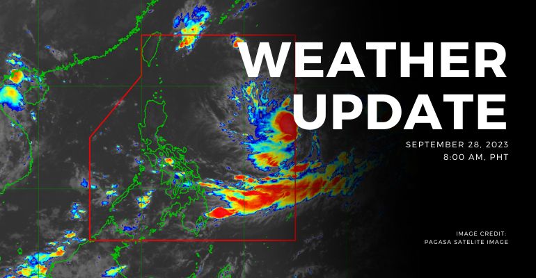
WEATHER UPDATE — According to the Philippines Atmospheric, Geophysical, and Astronomical Services Administration (PAGASA), a trough of a Low Pressure Area (LPA) will affect the eastern sections of Visayas and Mindanao. On the other hand, the Southwest Monsoon will affect the western sections of Southern Luzon and Visayas.
Weather Update Today – September 29, 2023
Eastern Visayas and Central Visayas will experience cloudy skies with scattered rain showers and thunderstorms caused by the trough of LPA. Possible flash floods or landslides due to moderate to, at times, heavy rains.
Meanwhile, Palawan, Zamboanga Peninsula, and the rest of Visayas will also experience cloudy skies with scattered rain showers and thunderstorms caused by Southwest Monsoon. Possible flash floods or landslides due to moderate to, at times, heavy rains.
Metro Manila and the rest of the country will experience partly cloudy to cloudy skies with isolated rain showers or thunderstorms caused by troughs of LPA or localized thunderstorms. Possible flash floods or landslides during severe thunderstorms.
According to PAGASA’s Forecast Wind and Coastal Water Condition, Northern Luzon and the eastern sections of Central and Southern Luzon have light to moderate wind speeds directed from northeast to northwest with slight to moderate coastal water (0.6 to 2.1 meters).
Meanwhile, Visayas and Mindanao have light to moderate wind speeds directed from southwest to west with slight to moderate (0.6 to 2.1 meters) coastal water conditions.
On the other hand, the rest of Luzon has light to moderate wind speeds directed from southwest to southeast with slight to moderate (0.6 to 1.5 meters) coastal water conditions.
Under present weather conditions, a Low-Pressure Area (LPA) trough affects Visayas and Mindanao’s eastern sections. Southwest Monsoon affecting the western sections of Southern Luzon and Visayas. There are light to moderate rains and thunderstorms for the 12-hour rainfall forecast.
WATERCOURSES STILL LIKELY TO BE AFFECTED :
- Palawan
- Northern Samar
- Samar
- Leyte
- Agusan Del Sur
- Agusan Del Norte
- Surigao Del Sur
People living near the mountain slopes and in the low-lying areas of the above-mentioned river systems and the Local Disaster Risk Reduction and Management Councils concerned are still advised to take necessary precautionary measures.
Source: (PAGASA)
Also read: PAGASA: LPA Forms 800km East of Extreme Northern Luzon
Leave a Reply