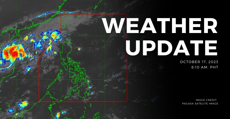
WEATHER UPDATE — According to the Philippines Atmospheric, Geophysical, and Astronomical Services Administration (PAGASA), the Northeasterly surface winds flow affect Northern Luzon.
Weather Update Today – October 17, 2023
PAGASA’s weather update today (October 17, 2023) says Batanes, Cagayan, and Isabela will experience cloudy skies with rains caused by the Northeasterly surface winds. Possible flash floods or landslides due to moderate to at times heavy rains
Meanwhile, Metro Manila and the rest of the country will experience partly cloudy to cloudy skies with isolated rain showers or thunderstorms caused by Northeasterly surface winds or localized thunderstorms. Possible flash floods or landslides during severe thunderstorms
According to PAGASA’s Forecast Wind and Coastal Water Condition, Northern and Central Luzon has moderate to strong wind speeds from northeast to east with moderate to rough coastal water (1.2 to 2.8 meters).
As for the rest of the country, the areas have light to moderate wind speeds from northeast to southeast with slight to moderate (0.6 to 2.1 meters) coastal water conditions.
Under present weather conditions, Northeasterly Surface Winds Flow affecting Northern Luzon. The 12-hour rainfall forecast is light rains.
WATERCOURSES NO LONGER TO BE AFFECTED:
- La Union
- Pangasinan
- Ilocos Norte
- Ilocos Sur
With this development and unless significant rain occurs, this is the final general flood advisory for this event.
Source: (PAGASA)
Also read: PAGASA: North Luzon Hit by Northeasterly Surface Winds Flow
Leave a Reply