On Wednesday, the shear line will hit eastern, southern Luzon, and the Visayas, while the northeast monsoon, or Amihan, will affect northern and central Luzon, according to PAGASA’s early morning forecast.
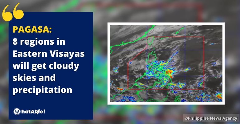
The shear line and trough of the Low-Pressure Area (LPA) will bring cloudy skies, scattered rain showers, and thunderstorms to Eastern Visayas, Bicol Region, MIMAROPA, Caraga, Davao Region, Aklan, Capiz, Quezon, and Aurora, with potential flash floods or landslides due to moderate to at times heavy rains.
Due to the northeast monsoon, the Ilocos Region and the Cordillera Administrative Region will experience cloudy weather with isolated light rainfall. Cagayan Valley will also experience cloudy weather and rainfall with the possibility of flash floods or landslides due to moderate to heavy rains.
Due to the shear line and localized thunderstorms, Metro Manila and the rest of the country will have cloudy weather with isolated rain showers or thunderstorms, with possible flash floods or landslides during strong thunderstorms.
Winds will be moderate to strong across the eastern parts of Southern Luzon, Visayas, and Mindanao, moving northeast to east, and coastal waters will be moderate to rough.
While the rest of the country will have a light to moderate wind moving northeast to east, and coastal water will be modest to moderate.
See PAG-ASA weather update today below:
– WhatALife!
Source: (gmanetwork.com)
Also Read: Cloudy skies, rains reported in Davao, Caraga, and Samar due to shear line, trough of LPA


Leave a Reply